


Fukushima Prefecture is scattered with gorgeous footpaths that allow visitors to experience the nostalgic scenery of the towns, explore the rural landscapes and catch a glimpse of daily life, rather than just visit tourist sites. These paths can be found throughout areas that were affected by the Great East Japan Earthquake and tsunami and the Fukushima nuclear incident, and the influx of visitors will bring vitality to these areas and support ongoing recovery efforts.
Hirono, a town of about 5,300 people on the coast of Fukushima Prefecture, is one such place. The area is rich in nature, including a river where wild sweetfish dwell and Mount Gosha, which has walking trails and an observatory offering a panoramic view of the vast Pacific Ocean.
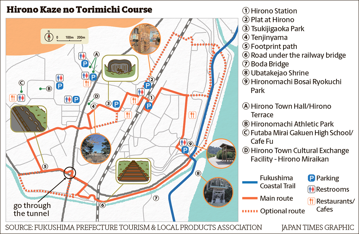
At the heart of this town is the Kaze no Torimichi Course (path of the winds course), a 4.1-kilometer footpath designed for a leisurely stroll that takes about 1 hour and 30 minutes to complete.
Rice paddies stretch out along the course, lush green in summer and golden in autumn. Hirono is the birthplace of “Tombo no Megane” (“Dragonfly’s glasses”), a Japanese children’s song cherished for generations. This song, inspired by children playing with dragonflies in the rice fields, was created with the wish for children to grow up happy even amid the turmoil after World War II. A stone monument engraved with its lyrics stands in Tsukijigaoka Park in the center of town.
Along the Asami River, which flows through the southern part of town, lies a path known as Ashiato no Michi (footprint path). Visitors who look closely will find footprints on the concrete pavement, left by someone who walked on it while it was still wet. This charming detail has been there for decades, and the locals laugh, saying no one knows who the culprit is.
Beyond Ashiato no Michi is the Joban Line railway bridge. Visitors can walk directly beneath the bridge, which is just high enough for an adult to pass under. Those who stop and wait for a train can see the underside of the train as it roars past directly overhead.
There is also a small cotton field. Salt damage caused by the tsunami made it impossible to grow crops in the area closest to the coast. However, since cotton proved viable, the community has been cultivating organic cotton since 2013.
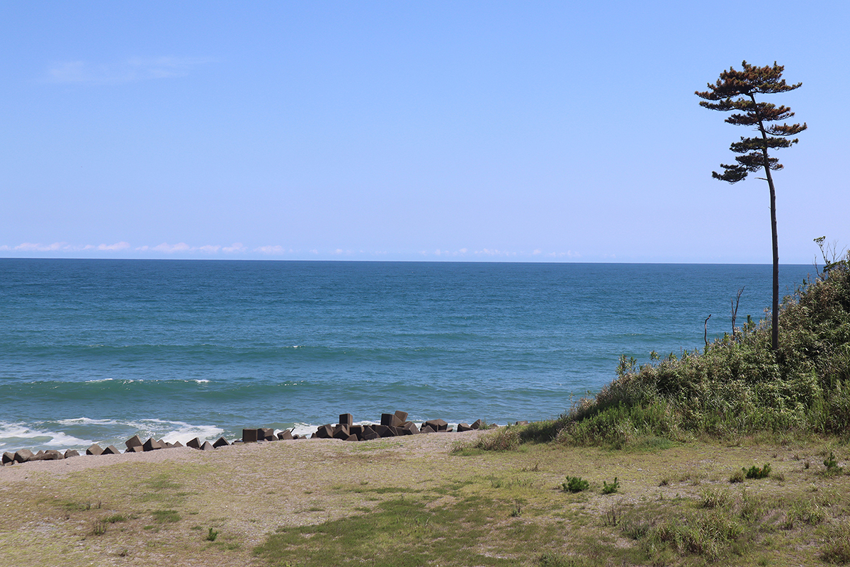
Just a few minutes’ walk toward the seaside from the cotton field is Ubatakejao Shrine, which offers a spectacular view of the sunrise over the ocean.
Another enjoyable way to experience Hirono is to visit it as part of a longer journey along the Fukushima Coastal Trail, which connects Shinchimachi at the northern end of the coastal side of Fukushima and the city of Iwaki at the southern end.
This trail spans 200 km, offering the chance to enjoy the changing terrain and beautiful scenery, with dynamic views of the Pacific Ocean and the rich nature of the Abukuma Mountain range, and to explore the history and culture of each of the 10 cities and towns the trail passes through. Visitors can walk the entire trail in 15 consecutive days by following a plan suggested on the trail’s website, or visit different sections over multiple trips.
For more information about travelling to Fukushima, please visit

